Deutsch
 English


Stubai 100
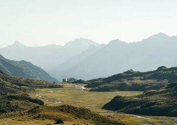
The Stubai 100 in 2026 is the ultimate challenge in the heart of the Alps. For the first time in the history of the Stubai Ultratrail, a 100-kilometer route will be offered. Both the start and finish are located in the center of Neustift. Participants in the Stubai 100 must conquer 5,800 meters of elevation gain and loss. The course leads through meadow and forest trails, alpine sections with stone slabs, narrow paths, and gravel tracks, passing through all five municipalities of the valley. This trail run combines idyllic side valleys, the impressive Kalkkögel mountains, the rugged towers of the Elfer, and views of the glaciers at the end of the valley, showcasing the full spectrum of alpine beauty. The Stubai 100 is for those who seek boundaries and discover greatness.
Flyover - Stubai 100

Time limit Stubai 100
| Checkpoints | Ascent (m) | Descent (m) | Distance (km) | Time limit |
|---|---|---|---|---|
| Start: Neustift im Stubaital (1.000 m) | 10:00 p.m. (start) | |||
| V1 Issenanger Alm (1.365m) | 390 | 15 | 5,00 | 11:30 p.m. |
| V2 Autenalm (1.670m) | 835 | 165 | 11,00 | 1:15 a.m. |
| V3 Klaus Äuele (1.195m) | 1.135 | 935 | 21,00 | 3:30 a.m. |
| V4 Milderaunalm (1.672 m) | 1.774 | 1.190 | 28,50 | 5:30 a.m. |
| V5 Waterworks Forchach (1.080 m) | 2.360 | 2.280 | 38,00 | 7:45 a.m. |
| V6 Starkenburger Hütte (2.210 m) | 3.535 | 2.300 | 43,00 | 10:15 a.m. |
| V7 Galtalm (1.633 m) | 3.668 | 3.030 | 49,50 | 11:45 a.m. |
| V8 Mahdl Telfes (1.823 m) | 4.384 | 3.656 | 60,00 | 2:00 p.m. |
| V9 Europabrücke (880 m) | 4.461 | 4.607 | 71,50 | 4:00 p.m. |
| V10 Mahderbachl Mieders (1.490 m) | 5.179 | 4.615 | 79,00 | 5:45 p.m. |
| V11 Serlessee (1.600 m) | 5.645 | 5.010 | 89,00 | 7:45 p.m. |
| Finish: Neustift im Stubaital (1.000 m) | 5.800 | 5.800 | 101,00 | 11:00 p.m. |


Impressions Stubai 100