Deutsch
 English
 Italiano
 Polski
 Čeština
 Français
 Nederlands


Stubai Radroute 19
ważne informacje
Długość trasy
24 km
Wysokość metry pod górę
364 hm
Metry wysokości w dół
200 hm
Najwyższy punkt
1216 hm
Trudność
łatwy
Wytrzymałość
4/6
Umiejętność
2/6
punkt początkowy:
Neustift - Stackler
punkt końcowy:
Neustift - Falbeson
warunek ścieżki:
durchgehend asphaltiert
sprzęt:
Räder aller Art
najlepsza pora roku:
Sty
Luty
Mar
Kwie
Maj
Cze
Lip
Sie
Wrz
Paź
List
Grud
profil wysokościowy
otwarty
pogoda
opis
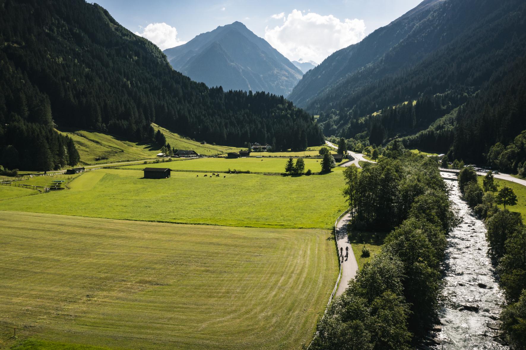
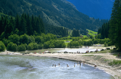
Cycle along approximately 24 kilometers through the valley floor of the Stubai Valley!
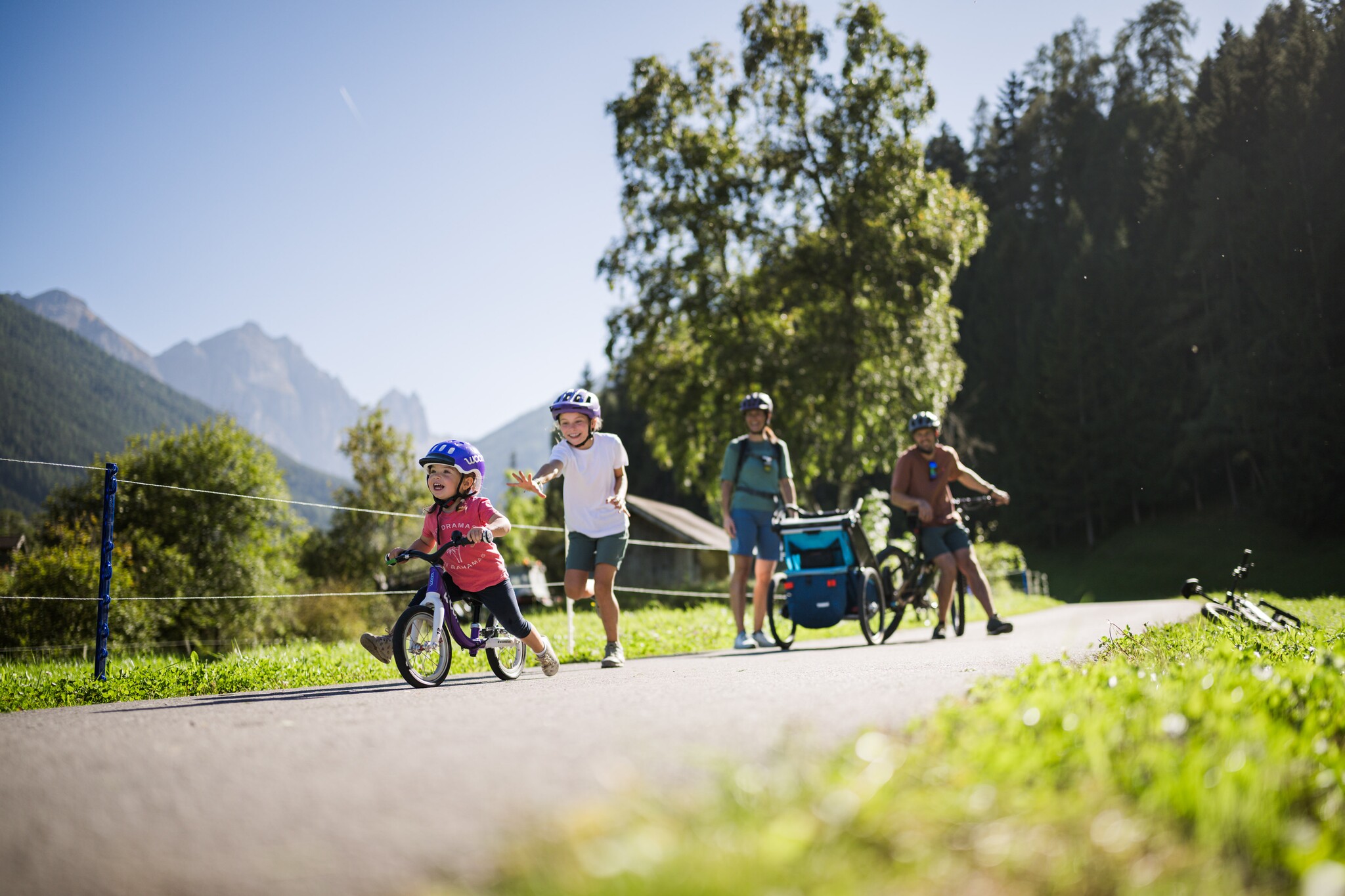
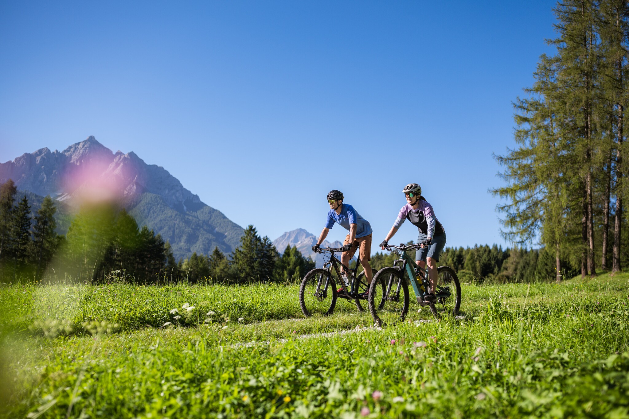
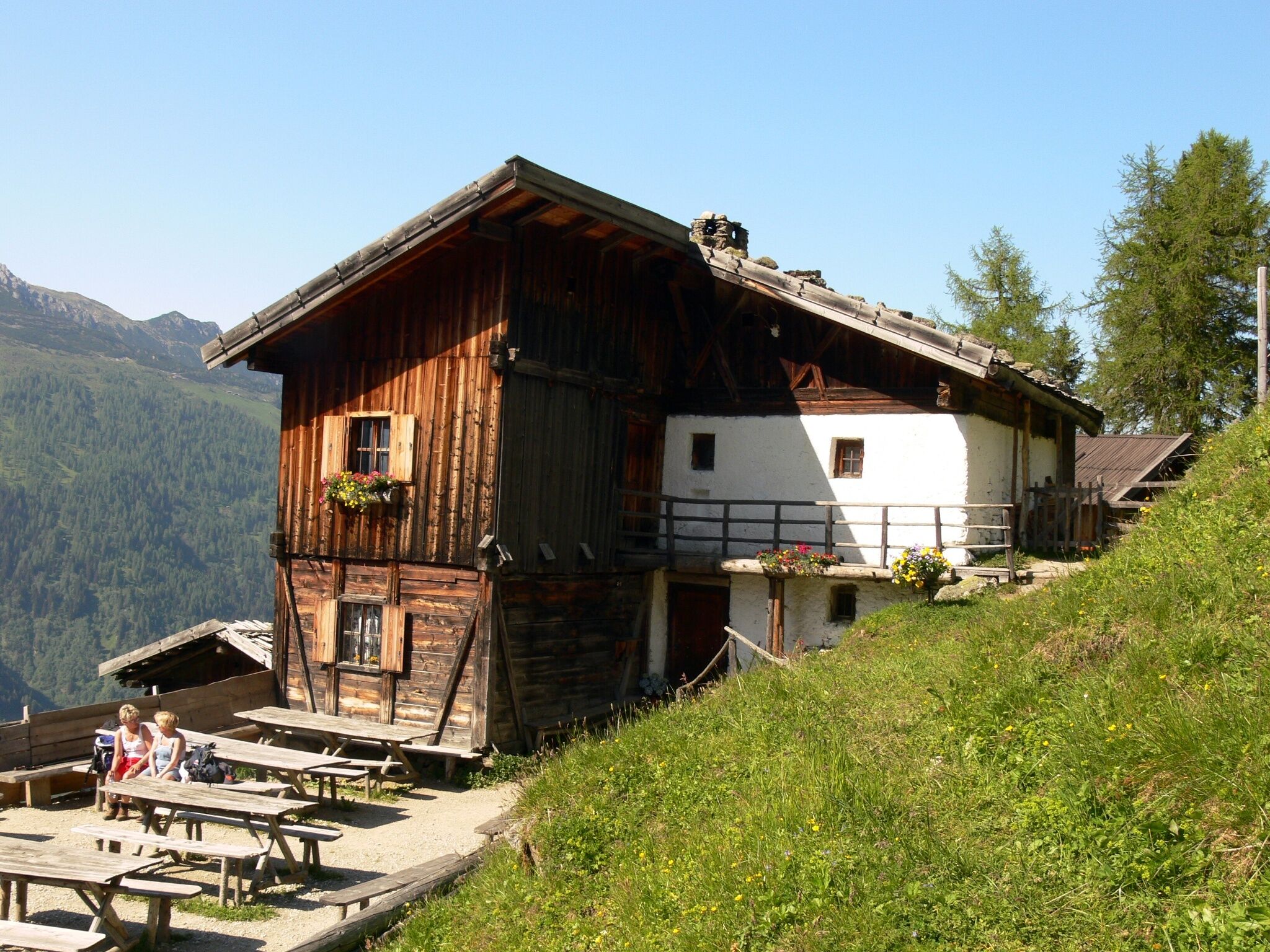
Relaxed cycling over more than 40 kilometers through the Stubai Valley: The Stubai Cycle Route 19 & 19a is a largely developed and signposted valley cycle path, running from Schönberg to the Doadler Alm in Falbeson—ideal for families, e-bikers, leisure cyclists, and beginners. The route passes through the valley without any major inclines, accompanied by meadows, forests, playgrounds, and places to stop for refreshments.